Scenery
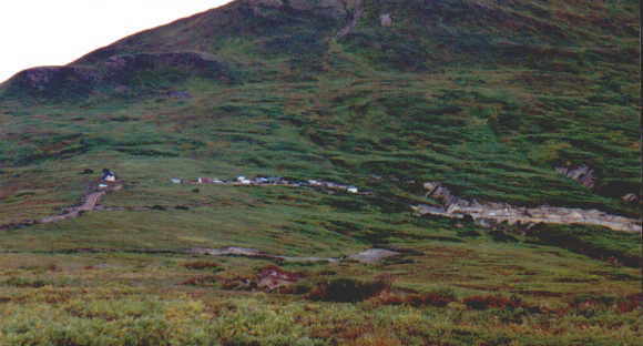
Here we see a photo of the camp, which we call "Vicinity, Alaska", and the working part of the Blue Ribbon Mine, called "The Potato Patch." The wind blows here pretty steadily, keeping the bugs away. This view is looking west, at the eastern flank of Gopher Mountain. The elevation of the camp, believe it or not, is about 2650 feet above sea level.
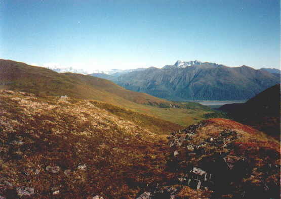
The next view is looking north along the Ramsdyke Creek valley, into the valley of the Tokositna River. Those mountains are the Tokosha Mountains. Denali is off to the left of the edge of this photo. The elevation here is about 3700 feet, near the top of Gopher Mountain. Almost all that you see in this photo is either Denali State Park or Denali National Park and Preserve.
©1999 Dennis R. Garrett. All Rights Reserved. Photos are the property of the owner.