(www.nitowns.com)

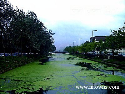
The Clanrye river flowing through the town is part of the border line between the counties Armagh and Down, hence a two county town The Newry canal, slow but surely, makes it way into into Carlingford lough ( 10-12 mile long inlet of the Irish sea ) Carlingford lough is a very scenic area due to the mountains that run along it's east and west shores. The building of the canal helped newry to become an important port, evidence of this is seen close to the banks where many warehouses are situated. The stretch from Newry to Carlingford lough is known as the "Ship canal" which operated from 1761 to 1974. Shipping trade moved downstream to Warrenpoint after the closure and is a busy port to this day. The canal was re-opened in 1987 for leisure use. The canal dosen't stop at Newry but continues upstream through a series of locks for a further 18 miles, to Whitecote Point, 2km south of Portadown. Moneypenny's was the last lock before entering the River Bann and on to Lough Neagh. Cargoes of mostly linen cloth, farming produce, coal, grain and flax seed where all shipped upstream from Newry.
It is possible to walk/cycle all the way to Portadown along the tow path, passing through the pretty little villages of Poyntzpass an Scarva on the way, obviously this path is quite level as it runs along the banks of the canal.
Contact
© Copyright 1999-2000-2001
All Rights Reserved