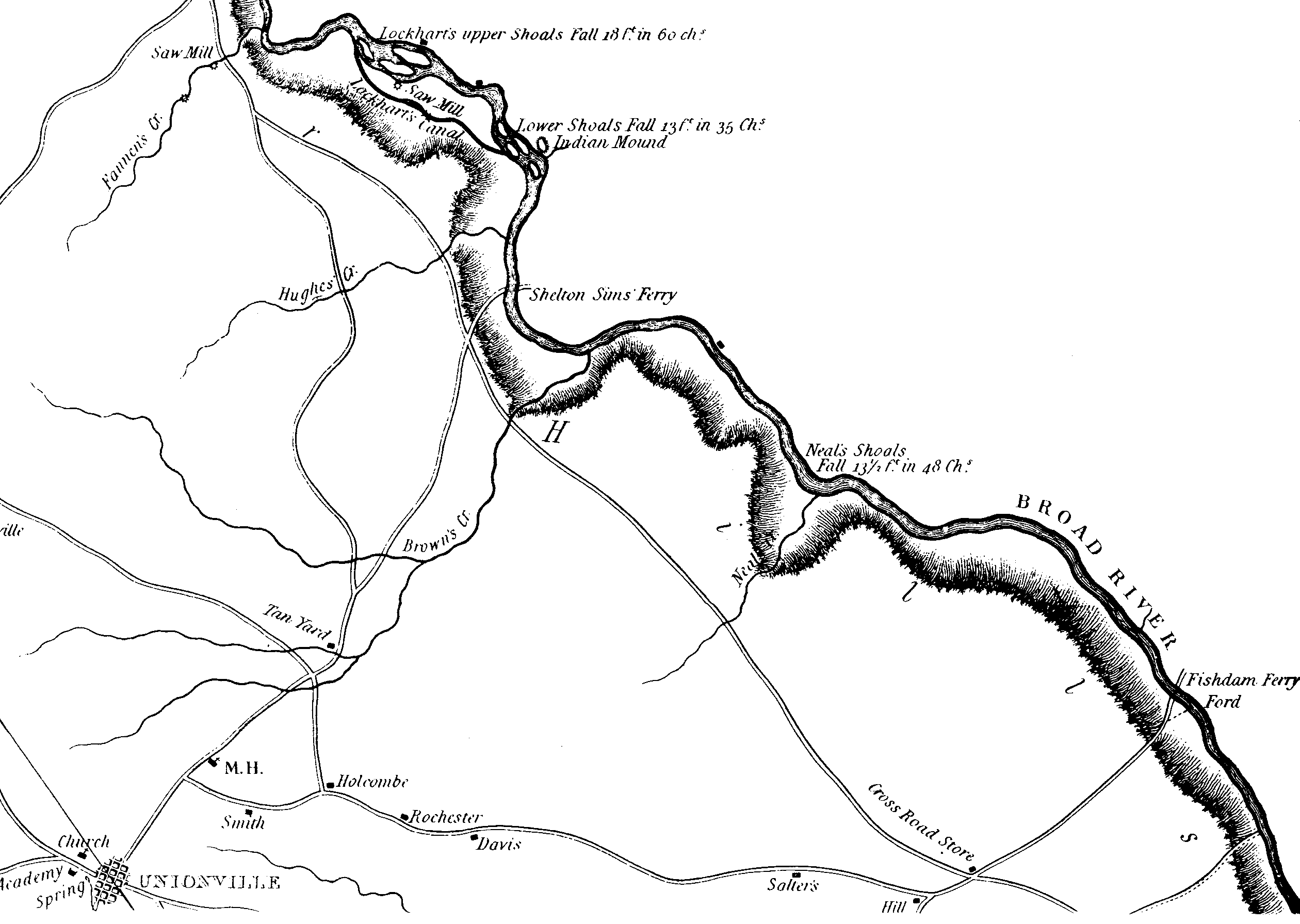
Map of the Browns Creek Area in 1825
This map of the Browns Creek area has been adapted from the Mills Atlas (first published 1825) map for Union County , South Carolina. During the Revolution, Browns Creek was the site of plantations owned by the Loyalists Zacharias Gibbs, David George, John Mayfield and Stephen Mayfield. The area lies north of the Tyger River and south of the Pacolet River, on the west side of Broad River.
![]()