|
Visible Images
Albedo:
The fraction of radiation reflected by a surface.
The satellite measures sunlight reflected by the clouds
and surface of the earth.
Water absorbs a lot of sunlight (it reflects just a little) so
it appears dark. The
percent of sunlight reflected by the land is called the surface
albedo. The albedo
of land ranges from about 10-30%, except for snow covered surfaces
where the
albedo is much higher. A cloud's
albedo is generally high, but can vary with its
thickness and composition. Thick clouds have high albedos
and show up bright
in the satellite image. Thin cirrus clouds have low albedos and
are usually
semi-transparent to sunlight. The structure of clouds in the
satellite image
can tell the meteorologist a lot about the weather and animations
tell him/ her about the movement of weather systems.
Infrared Images
The satellite also measures the temperature of the clouds
and the surface of the
Earth with an infrared sensor. This allows for the detection
of changes in the
temperature of clouds and that of the surface during the day
and at night. Clouds
are usually colder than the surface (land or water). The temperature
of the clouds
also indicates how tall they are since temperature is inversely
proportional to
height in the atmosphere. When the satellite meteorologist processes
the infrared
data, he/she makes the warm clouds gray, the cool clouds whiter,
and the very cold
clouds bright white. Meteorologists may also "enhance"
(color code)
imagery in order to more easily interpret the data.
Water Vapor Images
This imagery represents a special kind of infrared measurement
which measures
the temperature of clouds and water vapor in a layer of the atmosphere
about
6 to 10 kilometers above the surface. At this altitude, steering
currents such as jet
streams control the movement of weather systems around the Earth.
The water
vapor imagery therefore captures these jet streams (elongated
dark regions
with adjacent clouds and bright regions), "dry" blocking
high pressure systems
(dark regions), and other weather systems (gray and bright white
cloud patterns).
By studying these features and tracking them over time, meteorologists
can produce more accurate weather forecasts.
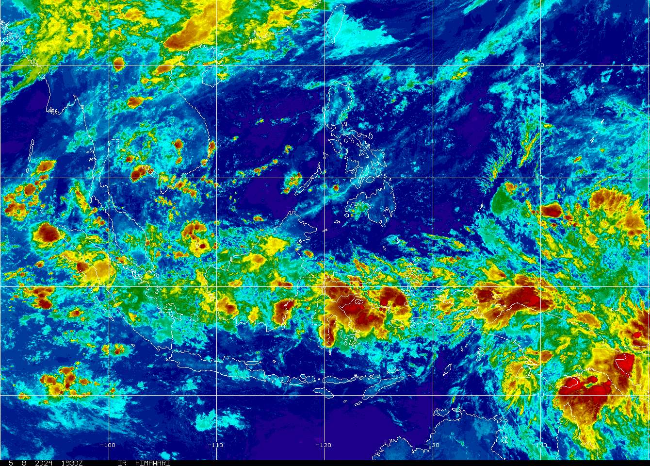
Enhanced or Colorized
Images
The colder the cloud the more likely it is to produce rain.
The temperature structure
of clouds also tells the meteorologist how hard it may be raining
and whether the
storm may be producing severe weather. In the absence of clouds,
the satellite
measures the temperature of the surface, which could be land
or ocean. In the
infrared image, warm temperatures are dark and cold temperatures
are lighter. In
the image, arid regions are hot and therefore dark, while regions
at higher latitudes
are usually cooler and brighter. The infrared image can also
be used to monitor
sea-surface temperature (SST). Since about 70% of the Earth is
ocean, this
allows the scientist to study how changes in SST (such as El
Nino and La Nina)
are related to global weather events (such as droughts, hurricanes,
and floods). |
