|
|
|
|
Out
with the Ramblers. It was a walk I'd done before but there have been a lot of
those on the latest programme. That was because we had to publish it at the
height of the FMD crisis and we weren't sure when we'd be walking again. So we
went for walks that would not need pre-walking and could therefore be put on at
short notice. The
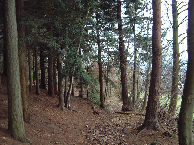
walk was around Hanchurch at the bottom end of the Potteries. It's a pleasant
area with lots of signed walks. We did the blue route for most of the walk.
(Incidentally you should not confuse the Hanchurch Walks with the Hanbury Walks
even though both sets of routes are named after colours; they are in very
different parts of the County. I suppose that the County uses colours so that it
can use the same waymarks in different areas.) Park by the Water Tower and there is a loop of about 2.5 miles to the north culminating in a big pull back up to the car park. There follows a long gently downhill run to Swynnerton and then across the fields nearly to Cranberry. Turn right and you come out near the Hatton Water Pumping Station (a fascinating example of Victorian industry architecture). A long uphill track to a road; turn right and walk up it for a quarter of a mile where it bends leftwards. Leave the road at the bend where a footpath carries straight on up the hill. Just where you are about to collapse you find the car park I went
off on my own to do a prewalk for my next SRG walk. The title is 'GREATNESS"
(walk titles appearing in capitals on the programme) Like the names of most of
my club walks this is intended to confuse as it should really be Great Ness, a
village just off the A5 heading from Shrewsbury to North Wales. The
focal point of the walk is the Nesscliff ridge. I've often whizzed past this
heading for Llangollen (or back home from there) but recently I noticed on the
new Explorer map that there is car parking there (in fact it's a country park)
and decided that it was worth looking at. Unfortunately
to join the circle you have to put in a few miles of flat field-walking. I put
this at the start (after a short but very pleasant path through the Nesscliff
woods). The path leaves the woods and carries on towards the village of Great
Ness before cutting back across the A5. It runs to Felton Butler, perks up a
little around Ensdon Bank plantation and back across the A5 again. More flattish
fields into Little Ness. There is a slightly spooky path from Red House Farm to
Milford House; I call it 'spooky' becuase there is no way-marking whatsoever but
it is still perfectly passable via a series of gates. The walk picks up at this point. It heads along a quiet valley side of the River Perry (well it's a glorified stream!) all the way to Ruyton-XI-towns (an intriguing name but I can't give any info on its derivation) and then you climb on to the ridge of Nesscliffe. The views of the Breiddens are splendid from here although the day was too misty to get any decent photos. This is nevertheless the best part of the walk. The high spot is Oliver's Point where again teh view would be good on a fine day. Then back via Kynaston's Cave I took a few photos but they're not worth setting up a separate page on.
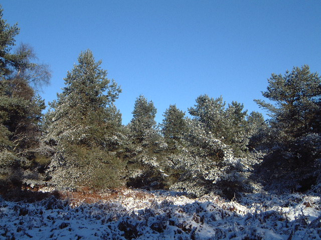
31 December Jus a quiet walk with Beryl around Cannock Chase. We started at the Katyn Memorial and wandered into the Sherbrook Valley and Pepper Slade. It was covered in snow so that it was looking at its best - rather like the walk that we did at much the same time last year!
|
|