|
To give browsers an indication of where we are we have compiled this section of maps. Milton Keynes is located between Luton and Northampton on the west of the M1 motorway (the small heavy typeface). The red lettering is the centre of the Borough and unitary county of Milton Keynes. The city is also very much larger than it would appear on this map and is considerably larger than the nearby towns of Northampton and the Luton/Dunstable conurbation. 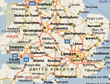
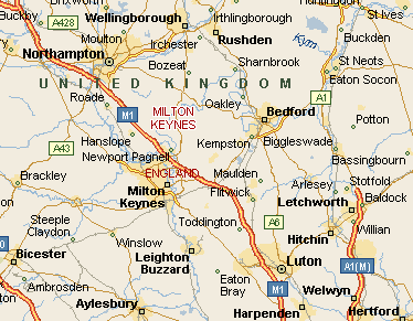
This larger scale version show the nearer towns and villages. As a rough guide, the city is approximately eight miles from north to south and the same from east to west. |